-
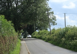
2012 : New Road near Kilmington
-
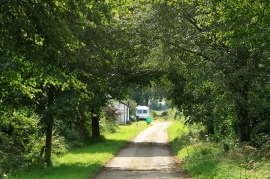
2012 : Green Ride Cottages
2012 : New Road near Kilmington
2012 : Green Ride Cottages
Location and coordinates are for the approximate centre of Kilmington Common within this administrative area. Geographic features and populated places may cross administrative borders.