-
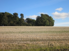
The End of Nine Acre Wood
-
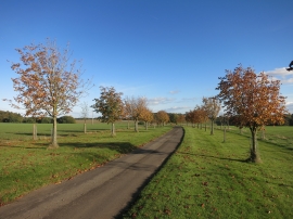
The road to Farnborough House
The End of Nine Acre Wood
The road to Farnborough House
Location and coordinates are for the approximate centre of Kilmarnock Plantation within this administrative area. Geographic features and populated places may cross administrative borders.