-
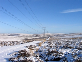
Estate road and electricity transmission lines passing Killpallet Heights
-
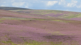
Meikle Says Law
Estate road and electricity transmission lines passing Killpallet Heights
Meikle Says Law
Location and coordinates are for the approximate centre of Killpallet Heights within this administrative area. Geographic features and populated places may cross administrative borders.