-
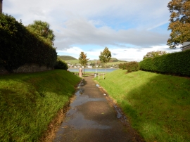
Campbeltown - Route of Old Railway Crossing Kilkerran Road
-
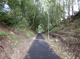
Campbeltown - Cutting Route of Old Narrow Gauge Railway
Campbeltown - Route of Old Railway Crossing Kilkerran Road
Campbeltown - Cutting Route of Old Narrow Gauge Railway
Location and coordinates are for the approximate centre of Kilkerran within this administrative area. Geographic features and populated places may cross administrative borders.