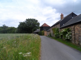
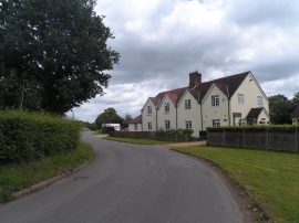
Kettle Green, Hertfordshire

« Gazetteer Entry
Upload Photo

Kettle Green, Hertfordshire

  • Parish/Community: Great Munden
  • District/Borough: East Hertfordshire
  • County: Hertfordshire
  • Region: Eastern
  • Category: Landcover
  • Type: Forest or Wood
  • Latitude/Longitude: 51°52'51"N 0°1'15"W
  • Eastings/Northings: 536317, 222123
  • OS Grid: TL363221
  • Mapcode Local: GBR K9V.1HJ
  • Mapcode Global: VHGP3.LZ8D

Location and coordinates are for the approximate centre of Kettle Green within this administrative area. Geographic features and populated places may cross administrative borders.

BritishPlaceNames.uk is a Good Stuff website.