-

Pyramidal orchid at Ranmore
-
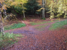
Crossways on Ranmore Common
Pyramidal orchid at Ranmore
Crossways on Ranmore Common
Location and coordinates are for the approximate centre of Keswick Plantation within this administrative area. Geographic features and populated places may cross administrative borders.