-
Housing on Ponteland Road (A167)
-
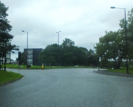
Ponteland Road, Newcastle upon Tyne
Housing on Ponteland Road (A167)
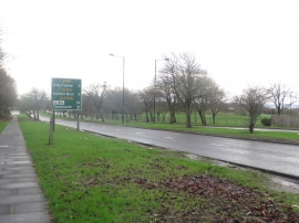
Ponteland Road, Newcastle upon Tyne
Location and coordinates are for the approximate centre of Kenton Bar within this administrative area. Geographic features and populated places may cross administrative borders.