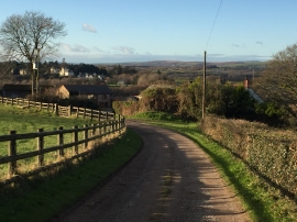
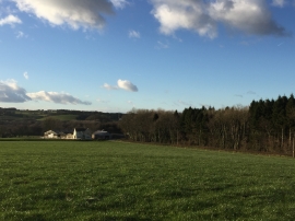
Kennel Grove, Vale of Glamorgan

« Gazetteer Entry
Upload Photo

Kennel Grove, Vale of Glamorgan

  • Parish/Community: Pendoylan
  • Unitary Authority: Vale of Glamorgan
  • Region: Wales
  • Category: Landcover
  • Type: Forest or Wood
  • Latitude/Longitude: 51°30'6"N 3°22'58"W
  • Eastings/Northings: 304107, 179003
  • OS Grid: ST041790
  • Mapcode Local: GBR HN.JPSB
  • Mapcode Global: VH6F3.9JX2

Location and coordinates are for the approximate centre of Kennel Grove within this administrative area. Geographic features and populated places may cross administrative borders.

BritishPlaceNames.uk is a Good Stuff website.