-
Ponsanooth : Park Road
-
Ponsanooth : St Michael's Road A393
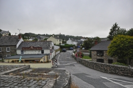
Ponsanooth : Park Road
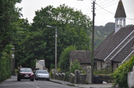
Ponsanooth : St Michael's Road A393
Location and coordinates are for the approximate centre of Kennall Wood within this administrative area. Geographic features and populated places may cross administrative borders.