-

The Cornish Coast
-
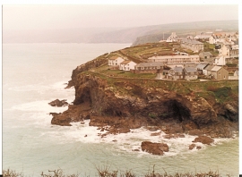
Cliff below north Port Isaac
The Cornish Coast
Cliff below north Port Isaac
Location and coordinates are for the approximate centre of Kenewal Rock within this administrative area. Geographic features and populated places may cross administrative borders.