-
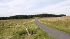
Minor road crossing Great Moss
-
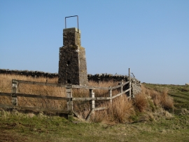
Stone pillar by Kelton Moss
Minor road crossing Great Moss
Stone pillar by Kelton Moss
Location and coordinates are for the approximate centre of Kelton Moss within this administrative area. Geographic features and populated places may cross administrative borders.