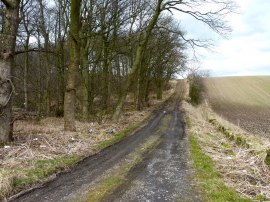
Keir Brae Plantation, Fife

« Gazetteer Entry
Upload Photo

Keir Brae Plantation, Fife

  • Unitary Authority: Fife
  • Region: Scotland
  • Category: Landcover
  • Type: Forest or Wood
  • Latitude/Longitude: 56°8'17"N 3°13'32"W
  • Eastings/Northings: 323931, 694608
  • OS Grid: NT239946
  • Mapcode Local: GBR 27.K796
  • Mapcode Global: WH6RM.FZ6B

Location and coordinates are for the approximate centre of Keir Brae Plantation within this administrative area. Geographic features and populated places may cross administrative borders.

BritishPlaceNames.uk is a Good Stuff website.