-
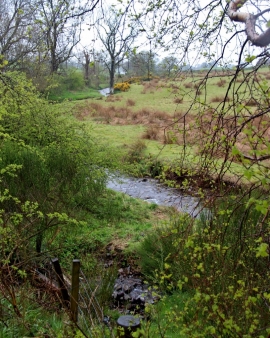
Tributary of Mye Burn
-
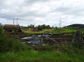
Old Level Crossing Gates
Tributary of Mye Burn
Old Level Crossing Gates
Location and coordinates are for the approximate centre of Keir Brae of Garden within this administrative area. Geographic features and populated places may cross administrative borders.