-
The Solent Way (102)
-
The Solent Way (103)
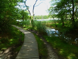
The Solent Way (102)
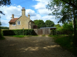
The Solent Way (103)
Location and coordinates are for the approximate centre of Keeping Copse within this administrative area. Geographic features and populated places may cross administrative borders.