-

Sculpted stone in Woodland Garden at Antony House
-
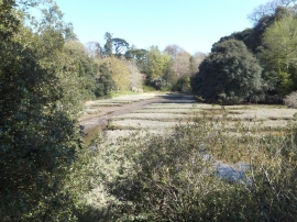
Former salt-pans in the Woodland Garden at Antony House
Sculpted stone in Woodland Garden at Antony House
Former salt-pans in the Woodland Garden at Antony House
Location and coordinates are for the approximate centre of Jupiter Plantation within this administrative area. Geographic features and populated places may cross administrative borders.