-
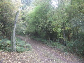
Whalebone Arc, Welton Vale
-
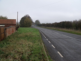
A157 near Bunkers Farm
Whalebone Arc, Welton Vale
A157 near Bunkers Farm
Location and coordinates are for the approximate centre of Jubilee Plantation within this administrative area. Geographic features and populated places may cross administrative borders.