-
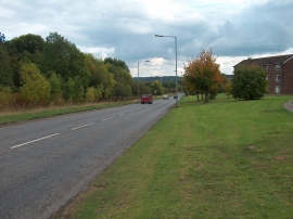
Jordanthorpe Parkway
-
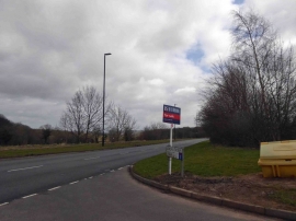
Jordanthorpe View joins the B6057
Jordanthorpe Parkway
Jordanthorpe View joins the B6057
Location and coordinates are for the approximate centre of Jordanthorpe Plantation within this administrative area. Geographic features and populated places may cross administrative borders.