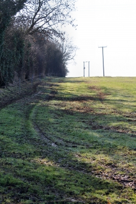
John's Plantation, Nottinghamshire

« Gazetteer Entry
Upload Photo

John's Plantation, Nottinghamshire

  • Parish/Community: Caunton
  • District/Borough: Newark and Sherwood
  • County: Nottinghamshire
  • Region: East Midlands
  • Category: Landcover
  • Type: Forest or Wood
  • Latitude/Longitude: 53°7'46"N 0°53'49"W
  • Eastings/Northings: 473892, 359723
  • OS Grid: SK738597
  • Mapcode Local: GBR BJF.VBF
  • Mapcode Global: WHFH8.6L1M

Location and coordinates are for the approximate centre of John's Plantation within this administrative area. Geographic features and populated places may cross administrative borders.

BritishPlaceNames.uk is a Good Stuff website.