-
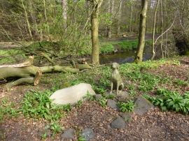
Much loved dog's grave in John Wood
-
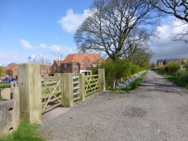
New housing on Burgh Lane
Much loved dog's grave in John Wood
New housing on Burgh Lane
Location and coordinates are for the approximate centre of John Wood within this administrative area. Geographic features and populated places may cross administrative borders.