-
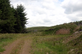
End of the road
-
Upper Cleuch Rig
End of the road
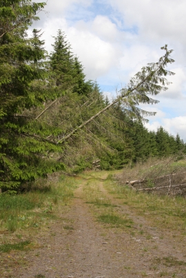
Upper Cleuch Rig
Location and coordinates are for the approximate centre of Jock's Shoulder within this administrative area. Geographic features and populated places may cross administrative borders.