-
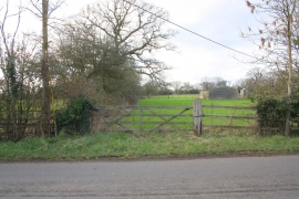
Gateway to field beside Hatfield Pits Road
-
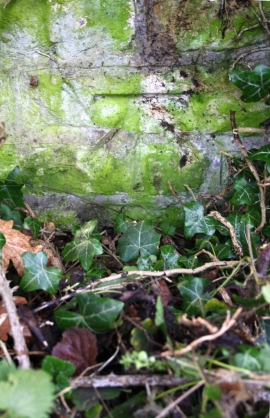
Benchmark on Hatfield Pits Road wall
Gateway to field beside Hatfield Pits Road
Benchmark on Hatfield Pits Road wall
Location and coordinates are for the approximate centre of Job's Copse within this administrative area. Geographic features and populated places may cross administrative borders.