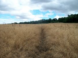
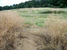
Jenny Swift Plantation, Warwickshire

« Gazetteer Entry
Upload Photo

Jenny Swift Plantation, Warwickshire

  • Parish/Community: Barcheston
  • District/Borough: Stratford-on-Avon
  • County: Warwickshire
  • Region: West Midlands
  • Category: Landcover
  • Type: Forest or Wood
  • Latitude/Longitude: 52°3'20"N 1°34'15"W
  • Eastings/Northings: 429506, 239796
  • OS Grid: SP295397
  • Mapcode Local: GBR 5Q1.5KZ
  • Mapcode Global: VHBYN.QL8D

Location and coordinates are for the approximate centre of Jenny Swift Plantation within this administrative area. Geographic features and populated places may cross administrative borders.

BritishPlaceNames.uk is a Good Stuff website.