-
Winter cereals, Rodmarton
-
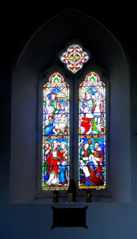
St Peter, Rodmarton
Winter cereals, Rodmarton
St Peter, Rodmarton
Location and coordinates are for the approximate centre of Jasper Plantation within this administrative area. Geographic features and populated places may cross administrative borders.