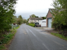
Isombridge, Telford and Wrekin

« Gazetteer Entry
Upload Photo

Isombridge, Telford and Wrekin

Other current and historical names

  • Asnebruge
  • Rushmoor
  • Allscott
  • Parish/Community: Wrockwardine
  • Unitary Authority: Telford and Wrekin
  • Region: West Midlands
  • Category: Populated Place
  • Type: Hamlet
  • Latitude/Longitude: 52°43'4"N 2°34'16"W
  • Eastings/Northings: 361500, 313500
  • OS Grid: SJ615135
  • Mapcode Local: GBR BR.1ZLH
  • Mapcode Global: WH9CV.GYRC

Location and coordinates are for the approximate centre of Isombridge within this administrative area. Geographic features and populated places may cross administrative borders.

BritishPlaceNames.uk is a Good Stuff website.