-
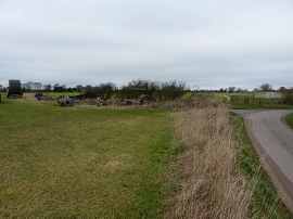
Abandoned kit at the lane junction
-
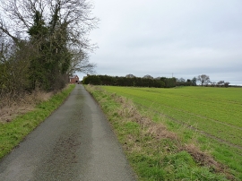
Heading into Marsh Green
Abandoned kit at the lane junction
Heading into Marsh Green
Other current and historical names
Location and coordinates are for the approximate centre of Isombridge within this administrative area. Geographic features and populated places may cross administrative borders.