-

The Football Pavilion
-
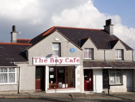
The Bay Cafe, Trearddur Bay
The Football Pavilion
The Bay Cafe, Trearddur Bay
Other current and historical names
Location and coordinates are for the approximate centre of Isallt Bach within this administrative area. Geographic features and populated places may cross administrative borders.