-
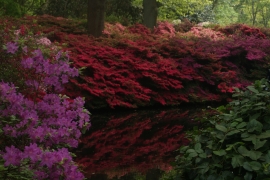
View of azaleas reflected in the still pond in the Isabella Plantation #5
-
View of azaleas reflected in the still pond in the Isabella Plantation #3
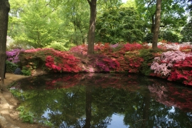
View of azaleas reflected in the still pond in the Isabella Plantation #5
View of azaleas reflected in the still pond in the Isabella Plantation #3
Location and coordinates are for the approximate centre of Isabella Plantation within this administrative area. Geographic features and populated places may cross administrative borders.