-
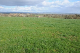
View over farmland at Purton
-
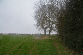
Stroud District : Grassy Field
View over farmland at Purton
Stroud District : Grassy Field
Location and coordinates are for the approximate centre of Ironwells Grove within this administrative area. Geographic features and populated places may cross administrative borders.