-
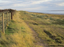
The Humber bank near Ireland's Clough
-
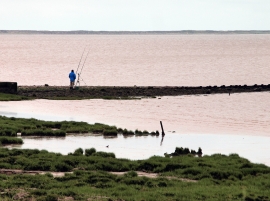
Fishing in the Humber
The Humber bank near Ireland's Clough
Fishing in the Humber
Location and coordinates are for the approximate centre of Ireland's Clough within this administrative area. Geographic features and populated places may cross administrative borders.