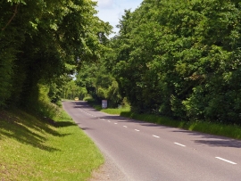
Interfield, Worcestershire

« Gazetteer Entry
Upload Photo

Interfield, Worcestershire

  • Parish/Community: Malvern
  • District/Borough: Malvern Hills
  • County: Worcestershire
  • Region: West Midlands
  • Category: Populated Place
  • Type: Hamlet
  • Latitude/Longitude: 52°8'46"N 2°19'36"W
  • Eastings/Northings: 377738, 249820
  • OS Grid: SO777498
  • Mapcode Local: GBR 0F8.DKP
  • Mapcode Global: VH92Y.MB92

Location and coordinates are for the approximate centre of Interfield within this administrative area. Geographic features and populated places may cross administrative borders.

BritishPlaceNames.uk is a Good Stuff website.