-

Public footpath off Coal Hill Lane, Rodley
-
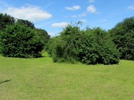
Open Ground on Coal Hill
Public footpath off Coal Hill Lane, Rodley
Open Ground on Coal Hill
Location and coordinates are for the approximate centre of Intake within this administrative area. Geographic features and populated places may cross administrative borders.