-
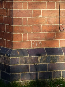
OS benchmark - East Lodge cottage
-
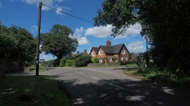
The house on the corner
OS benchmark - East Lodge cottage
The house on the corner
Location and coordinates are for the approximate centre of Intake Coppice within this administrative area. Geographic features and populated places may cross administrative borders.