-

Towards Beam Villas
-
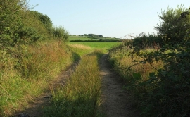
Track, Innis Downs
Towards Beam Villas
Track, Innis Downs
Location and coordinates are for the approximate centre of Innis Downs within this administrative area. Geographic features and populated places may cross administrative borders.