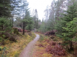
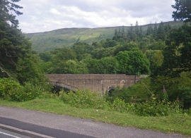
Inn Plantation, Highland

« Gazetteer Entry
Upload Photo

Inn Plantation, Highland

  • Unitary Authority: Highland
  • Region: Scotland
  • Category: Landcover
  • Type: Forest or Wood
  • Latitude/Longitude: 57°4'18"N 4°47'37"W
  • Eastings/Northings: 230738, 801316
  • OS Grid: NH307013
  • Mapcode Local: GBR GBJ1.4YR
  • Mapcode Global: WH2FW.BJJ3

Location and coordinates are for the approximate centre of Inn Plantation within this administrative area. Geographic features and populated places may cross administrative borders.

BritishPlaceNames.uk is a Good Stuff website.