-
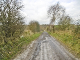
Everleigh, former turnpike road
-
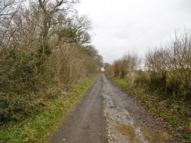
Everleigh, former turnpike road
Everleigh, former turnpike road
Everleigh, former turnpike road
Location and coordinates are for the approximate centre of Infirmary Copse within this administrative area. Geographic features and populated places may cross administrative borders.