-
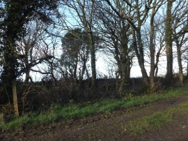
The Saints Way near Trevidgeowe
-
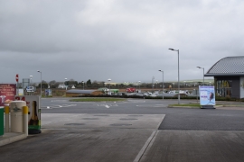
View from Cornwall Services
The Saints Way near Trevidgeowe
View from Cornwall Services
Location and coordinates are for the approximate centre of Inchs within this administrative area. Geographic features and populated places may cross administrative borders.