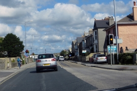
Illogan Highway, Cornwall

« Gazetteer Entry
Upload Photo

Illogan Highway, Cornwall

Other current and historical names

  • Pool
  • Built-Up Area: Redruth
  • Parish/Community: Carn Brea
  • Unitary Authority: Cornwall
  • Region: South West
  • Category: Populated Place
  • Type: Village
  • Latitude/Longitude: 50°13'43"N 5°15'26"W
  • Eastings/Northings: 167786, 41616
  • OS Grid: SW677416
  • Mapcode Local: GBR Z2.2N2V
  • Mapcode Global: VH12J.THKY

Location and coordinates are for the approximate centre of Illogan Highway within this administrative area. Geographic features and populated places may cross administrative borders.

BritishPlaceNames.uk is a Good Stuff website.