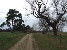
Icklingham Plains, Suffolk

« Gazetteer Entry
Upload Photo

Icklingham Plains, Suffolk

  • Parish/Community: Icklingham
  • District/Borough: Forest Heath
  • County: Suffolk
  • Region: Eastern
  • Category: Landcover
  • Type: Other Landcover
  • Latitude/Longitude: 52°19'54"N 0°34'57"E
  • Eastings/Northings: 576081, 273556
  • OS Grid: TL760735
  • Mapcode Local: GBR PBB.XTV
  • Mapcode Global: VHJG7.1NX9

Location and coordinates are for the approximate centre of Icklingham Plains within this administrative area. Geographic features and populated places may cross administrative borders.

BritishPlaceNames.uk is a Good Stuff website.