-
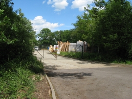
Timber frame manufacturers
-
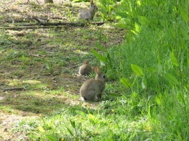
Rabbits on bridleway to B 2133
Timber frame manufacturers
Rabbits on bridleway to B 2133
Location and coordinates are for the approximate centre of Hurst Copse within this administrative area. Geographic features and populated places may cross administrative borders.