-
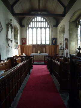
Houghton Regis - All Saints - Chancel
-
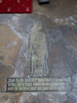
Houghton Regis - All Saints - Old Brass
Houghton Regis - All Saints - Chancel
Houghton Regis - All Saints - Old Brass
Location and coordinates are for the approximate centre of Houghton Regis within this administrative area. Geographic features and populated places may cross administrative borders.