-
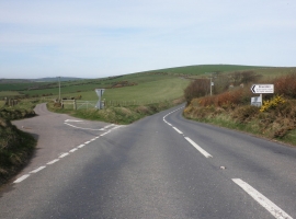
Turning for Brendon and Leeford
-
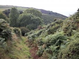
Path to Wingate Combe
Turning for Brendon and Leeford
Path to Wingate Combe
Location and coordinates are for the approximate centre of Hospital Plantation within this administrative area. Geographic features and populated places may cross administrative borders.