-
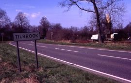
Eastern approach to Tilbrook
-
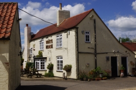
The White Horse, Tilbrook
Eastern approach to Tilbrook
The White Horse, Tilbrook
Location and coordinates are for the approximate centre of Honeyhill Wood within this administrative area. Geographic features and populated places may cross administrative borders.