-

M1 motorway viewed from the Brockhall Road bridge
-
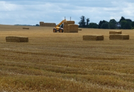
Farmland and bales next to Brockhall Road
M1 motorway viewed from the Brockhall Road bridge
Farmland and bales next to Brockhall Road
Location and coordinates are for the approximate centre of Hobhill Spinney within this administrative area. Geographic features and populated places may cross administrative borders.