-

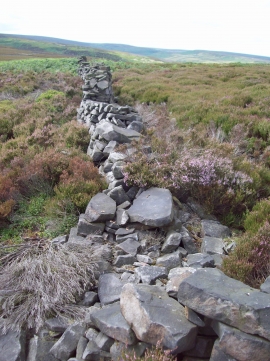
Dilapidated wall on Hingcliff common
-
Dry Stone Wall near Hingcliff Common
Dilapidated wall on Hingcliff common
Dry Stone Wall near Hingcliff Common
Location and coordinates are for the approximate centre of Hingcliff Hill within this administrative area. Geographic features and populated places may cross administrative borders.