-
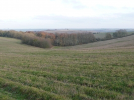
Looking from Stoke Hill over the woods
-
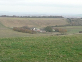
Looking down from Stoke Hill
Looking from Stoke Hill over the woods
Looking down from Stoke Hill
Location and coordinates are for the approximate centre of Hill Wood within this administrative area. Geographic features and populated places may cross administrative borders.