-
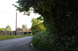
Corner at Windmill Hill
-
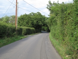
Grange Road, Windmill Hill, Tiptree
Corner at Windmill Hill
Grange Road, Windmill Hill, Tiptree
Location and coordinates are for the approximate centre of Hill Wood within this administrative area. Geographic features and populated places may cross administrative borders.