-
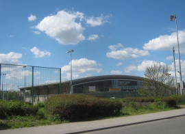
The Raich Carter Sports Centre in Sunderland
-
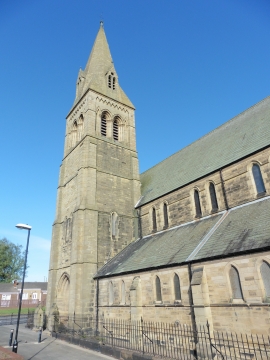
Sunderland, Hendon, St Ignatius
The Raich Carter Sports Centre in Sunderland
Sunderland, Hendon, St Ignatius
Location and coordinates are for the approximate centre of Hendon within this administrative area. Geographic features and populated places may cross administrative borders.