-
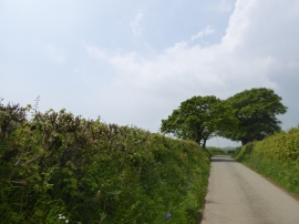
Trees in Little Down Lane, north-west of Bickleigh
-
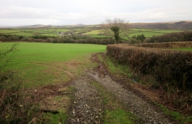
Towards Lower Upperton
Trees in Little Down Lane, north-west of Bickleigh
Towards Lower Upperton
Location and coordinates are for the approximate centre of Hele Wood within this administrative area. Geographic features and populated places may cross administrative borders.