-
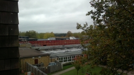
Panorama from the top of the lift leading from the main campus to the student residences
-
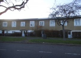
Houses on Bishops Rise, Hatfield
Panorama from the top of the lift leading from the main campus to the student residences
Houses on Bishops Rise, Hatfield
Location and coordinates are for the approximate centre of Hazel Grove within this administrative area. Geographic features and populated places may cross administrative borders.