-
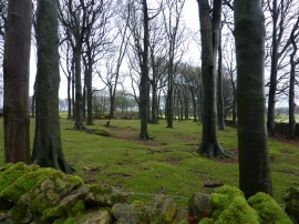
Small copse of beech trees
-
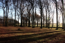
Woodland off Green Lane
Small copse of beech trees
Woodland off Green Lane
Location and coordinates are for the approximate centre of Hartington Road Plantation within this administrative area. Geographic features and populated places may cross administrative borders.